"I spent seven full days without seeing or speaking to another human. I didn't have a problem with it, to be honest, having a mostly introverted personality. It allowed me plenty of time to think and ponder what my true passions were and where I wanted to spend my energy in the coming years - or so I thought."
Route: Great Divide Trail, Section B – Coleman, Alberta to Upper Kananaskis Lake, Alberta (modified start).
Trip Length: 190km – Hiking.
Trip Dates: August 11, 2020 to August 18, 2020 – 8 days on trail.
Special notes: Unlike Section C and many other areas of the Great Divide Trail (G.D.T.), Section B remains mostly permit-less in regards to camping. Residing in either Southern Alberta Public Lands, or on B.C. Public Lands, save for Elk Lakes Provincial Park, the trail remains, for the most part, east of the Continental Divide. It is always recommended to practice Leave No Trace principals, when recreating in the back country.
The Trail:
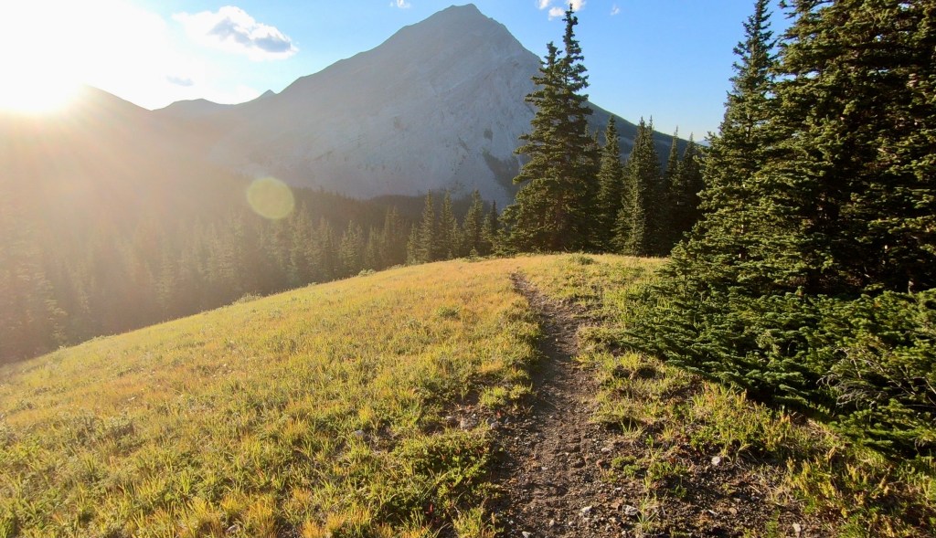
If you haven’t read my first solo trip report or if you have not heard of the The Great Divide Trail let me give you a little background. The Great Divide Trail is a long distance hiking trail, which stretches over 1100km long and is located in western Canada’s Rocky Mountains, also know as the Continental Divide. This special geological formation is the headwaters of many tributaries and rivers, whose life bringing waters eventually travel all the way to the Pacific, Atlantic or Arctic Oceans. The Canadian Rocky Mountains kept the fur traders of the late 1700’s from reaching the Pacific Ocean until names such as Alexander Mackenzie, Simon Fraser and David Thompson managed to find the difficult passages through, with the help of their First Nation and Inuit guides, who in some instances used the passes for thousands of years. This top tier hiking trail is quickly becoming well known as one of the toughest and most scenic long distance hiking trails on the planet. This is also one of the few places left you can still find glaciers, turquoise alpine lakes, never ending forests and some of the largest predators and ungulates on the planet, along with many different birds, mammals, rodents and fish species.
For some reason Section B is not really well known for much in the Great Divide Hiking Trail community. Most of my sources being from previous hikers, who sounded like they didn’t enjoy the numerous sections of gravel road walking, quad trails and criss-crossing back and forth between the three options, the often old horse or hunting camps found in the drainages and maybe the heavy grizzly bear populations in this wild corridor. Something I have learned over the years is to not trust others opinions of places, hikes or other adventures, because I was about to be blown away. The trail of Section B crosses the Continental Divide only a few different times, but for the most part, lies on the eastern, Alberta side where rivers like the Old Man, and Highwood flow east from their headwaters this area. The trail finally crosses into British Columbia near the end of this section for about 40km in the drainage of the Elk River, a tributary of the Kootenay River heading west, before crossing back into Alberta at the end in Peter Lougheed Provincial Park.

Satellite Image Map of Section C Route – Source: Gaia GPS App.
My Adventure:
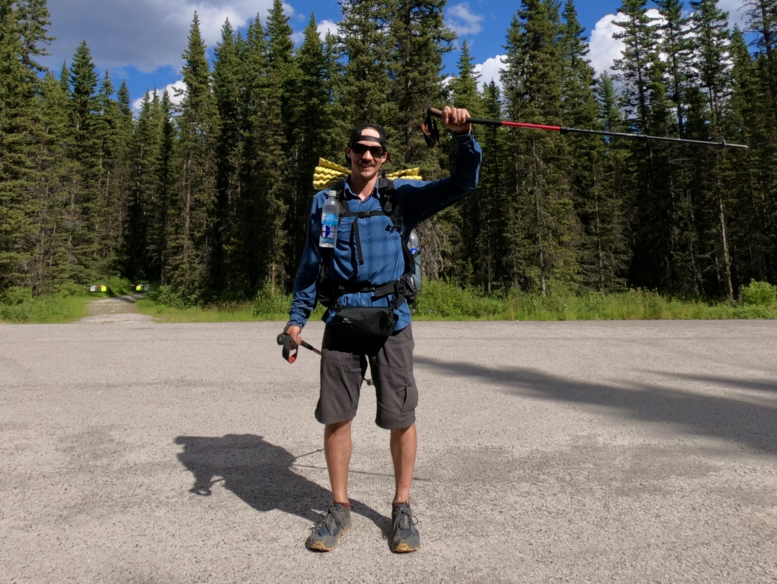
My start was slightly modified, because I am being driven to the trailhead from the west (B.C.). Rather than drive into Coleman further down the highway, I chose to get dropped off and begin my hike 6km up the “Allison Creek Road”, some 10km west of the town of Coleman by trail. This cuts short 10km of gravel road walking (trail) and puts me very close to the start of the new route, however if I were to do it all over again, I would start from the town of Coleman earlier in the day instead of up the road. This would give my legs some warm up before the hill climbing begins. I am hiking this section the first summer that the new High Rock Route is completed – the very famous, year 2020. The High Rock Route is a new 46km Section of trail installed to eliminate some 30km of gravel road walking on the west of the divide, along with a small trespass on to the Teck Coal Mine Property, which the trail slightly cuts the corner. With many of the National and Provincial Parks having restrictions this summer, this is a perfect trip after loosing my booked flight and ability to hike the Colorado Trail, in the USA. The remoteness of Section B is a chance to hike a really wild section of the Great Divide Trail and potentially have some long periods without anyone around. In total my plan is to hike 190km of the 200km section in just 8 days and I am looking forward tot he challenge.
Planning Considerations:
One of the best resources for this hike is the Great Divide Trail Website – greatdividetrail.com. There are quite a few helpful resources located here. A document with a list of every formal campsite along the whole trail, including national parks, provincial parks, recreation sites and some random camping is available for download. Some the benefits of this document is information on how to get specific permits, the types of amenities at the camps and their distance from both ends of the trail. There is another downloadable document that has a printable, basic map that can be used with map and compass for navigation, if you so please and a backup navigation method is always recommended. A map on one of the website’s pages overviews the entire trail, and shows important points, such as the beginning and ending of each of the 7 sections of the Trail – A through to G. With even more useful information found there, the Great Divide trail Website is definitely a source you want to check out.
I normally prefer to use Gaia GPS App (Premium), a Garmin Product (GPS Device), and/or a map and compass for all of my adventures. I alway have a paper map(s) on a larger trip, along with at least one device, such as a smart phone in a waterproof/shockproof case or a stand alone GPS Device. For shorter trips, such as a day trip, sometime even a mental map and phone GPS will be sufficient. For the sections of the Great Divide Trail that I have hiked, I preferred to use the Far Out Guides App – formerly known as Guthooks App and a paper map set. This app has purchasable map packs for many of the long trails around the world. The app is simple, it runs fast when off grid in the backcountry, and has all of the important information you need for the trail and nothing else – a great elevation profile of the trail, a simple map, with a line for the main trail, different coloured lines for exit/resupply/emergency routes and another one for alternate trails. The map also shows campsites, water sources, mountain passes and points of interest, all of which have a message board, where hikers can leave notes for other hikers to see trail information that may have changed for that changes seasonally.
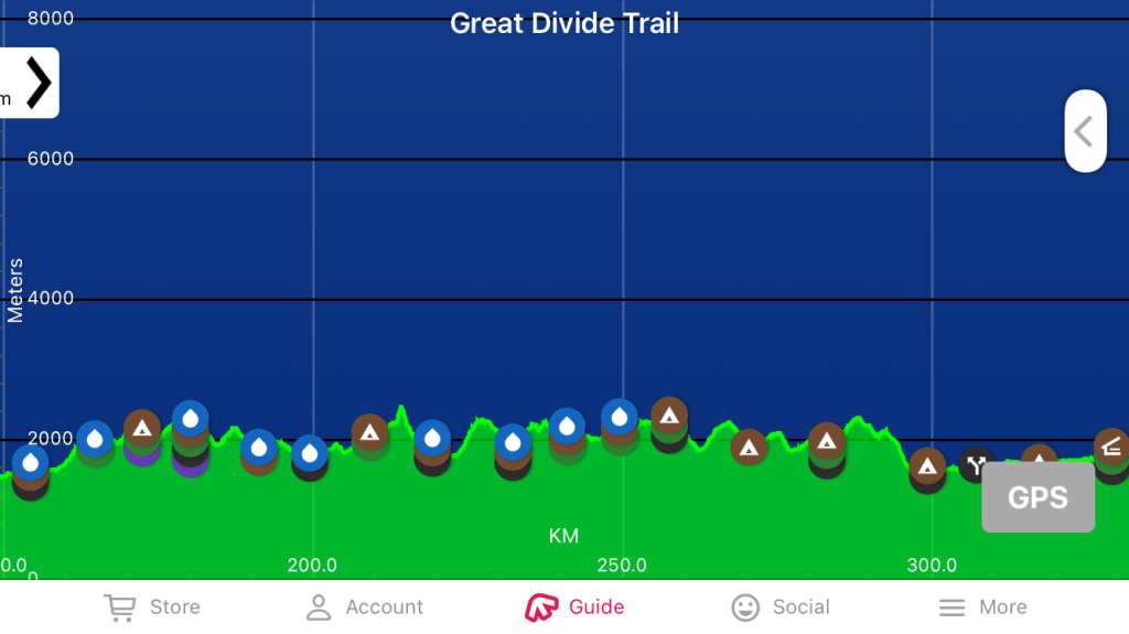
Elevation Profile of Section B – Source: Far Out Guides App.
There are also a few Facebook Groups that you can join to get plenty of additional information as well, just make sure to keep an open mind on these types of groups and realize that not everyone has the same goals or same hike in mind – “Hike your own hike”.
Getting To The Start:
My parents once again agree to shuttle me again and pick me up at 5:30am. We drive south on a beautiful and clear morning down Highway 93/95 from Invermere, through the upper Columbia River Valley and past the first of two head water lakes of the mighty Columbia River – Columbia Lake. Near Cranbrook, we turn onto Highway 93 heading east, passing by the Bull River and Sand River, tributaries of the Kootenay River, which pour from the Lizard Mountain Range. Continuing east until it turns into Highway 3 near the town of Jaffray. The now narrow and enchanting lower Elk River Valley (also a tributary of the Kootenay River) begins at Elko and heads north passing the town of Fernie and Sparwood, B.C. to the headwaters at Elk Lakes. We stop in Sparwood for a quick breakfast of the last “town food” I will taste in a while and continue east away from the Elk River drainage. We cross the Crowns Nest Highway Pass and are now in Alberta. Approximately 6km before the town Coleman, Alberta, we turn north on the extremely bumpy Allison creek road (this is coming from a guy from the Kootenay region, who thought he was used to rough backcountry roads!) for 6km until the road intersected the Great Divide Trail. This is where I get out, say my good byes and begin the now biggest adventure of my life.
Full trip write up coming soon. For now enjoy my video series on YouTube.
Featured Photos:
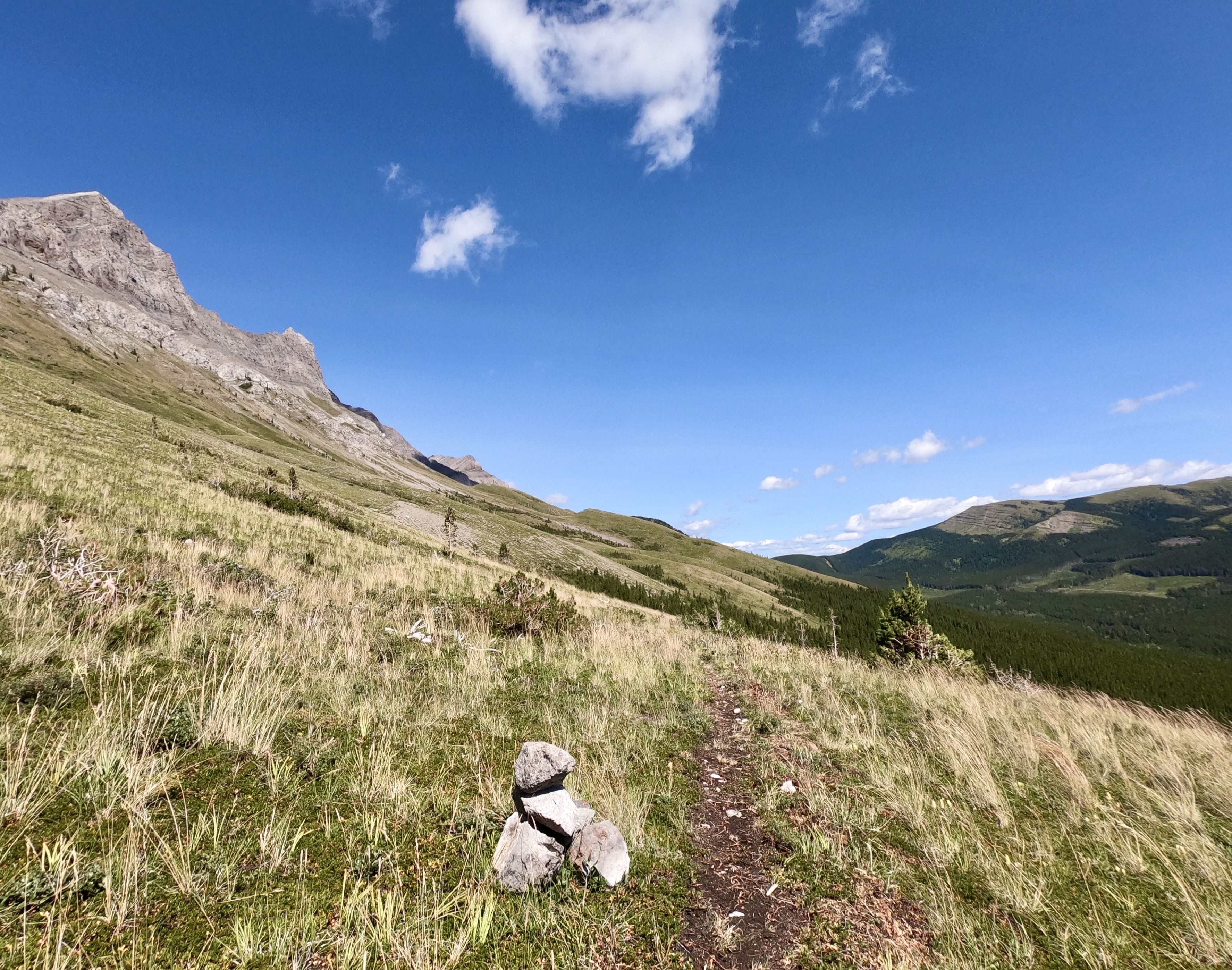
Heading North on the High Rock Route 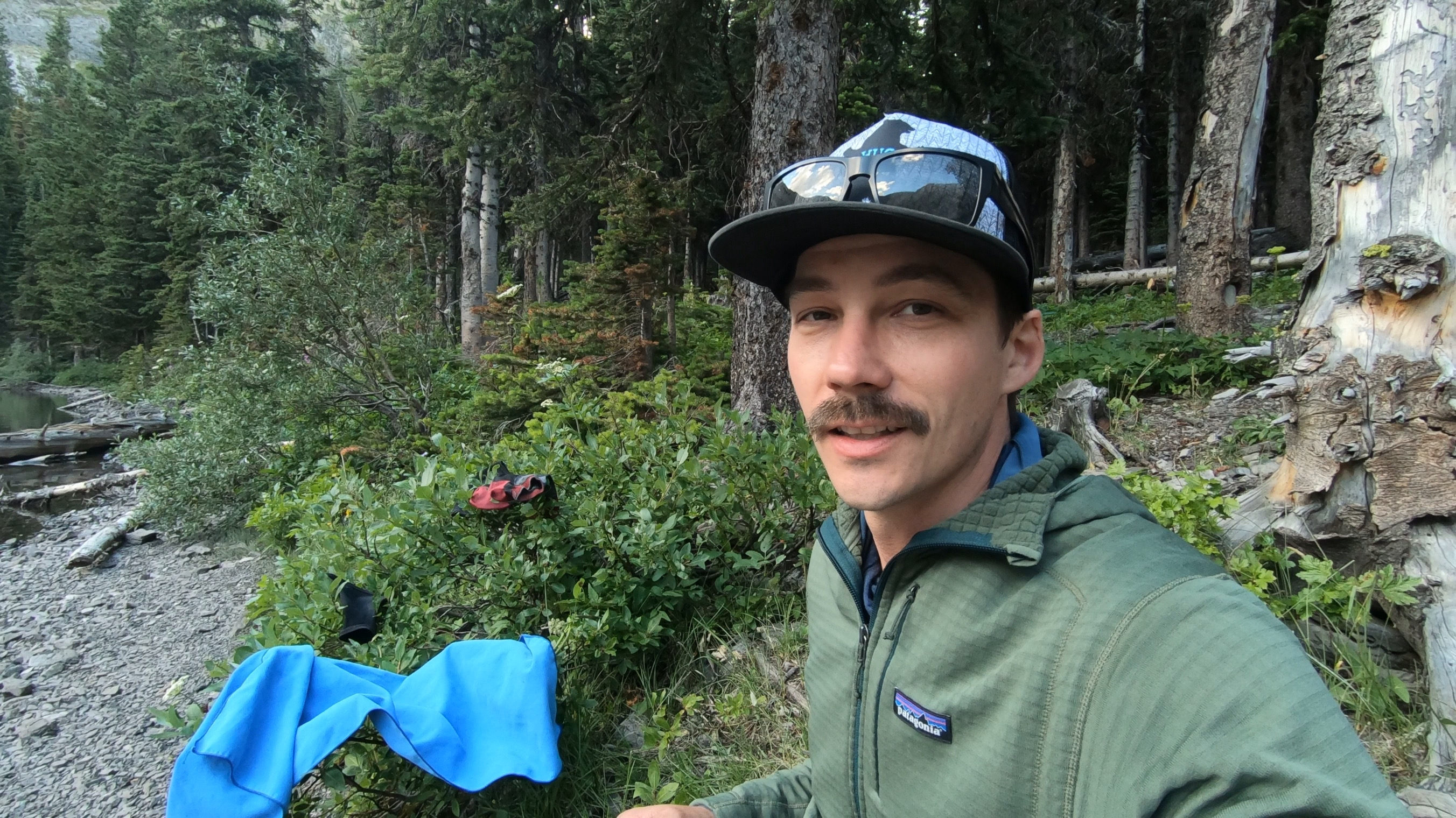
First dinner on trail 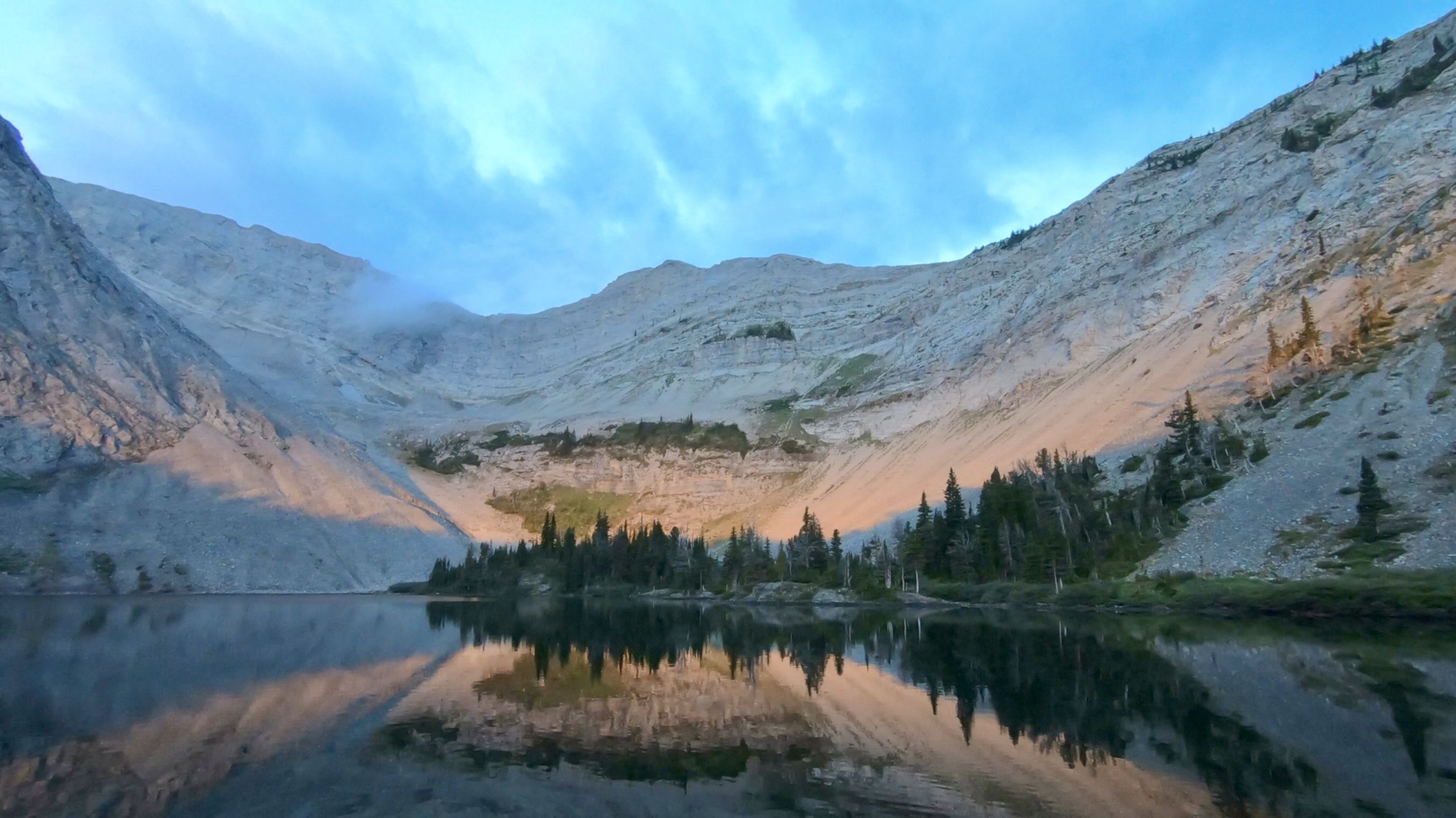
Window Mountain Lake 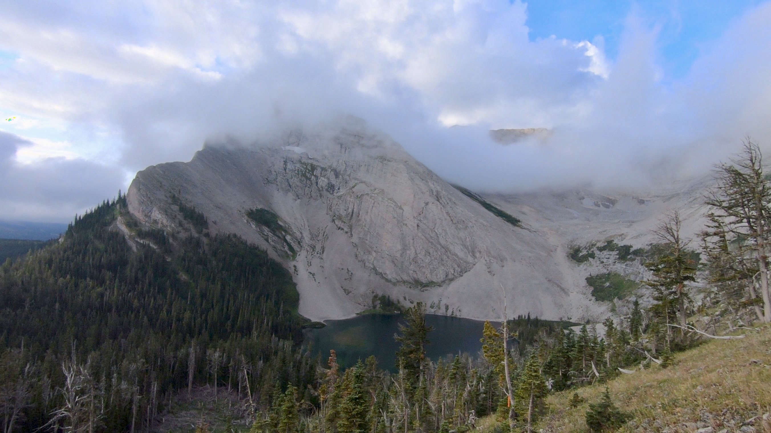
Above Window Mountain Lake 
Going over Racehorse Shoulder 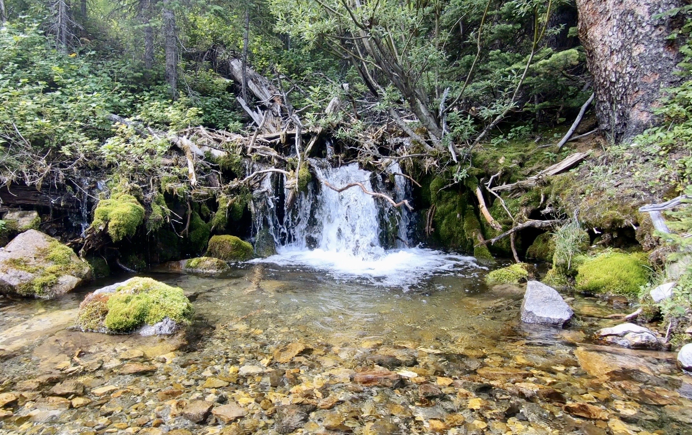
Racehorse Creek 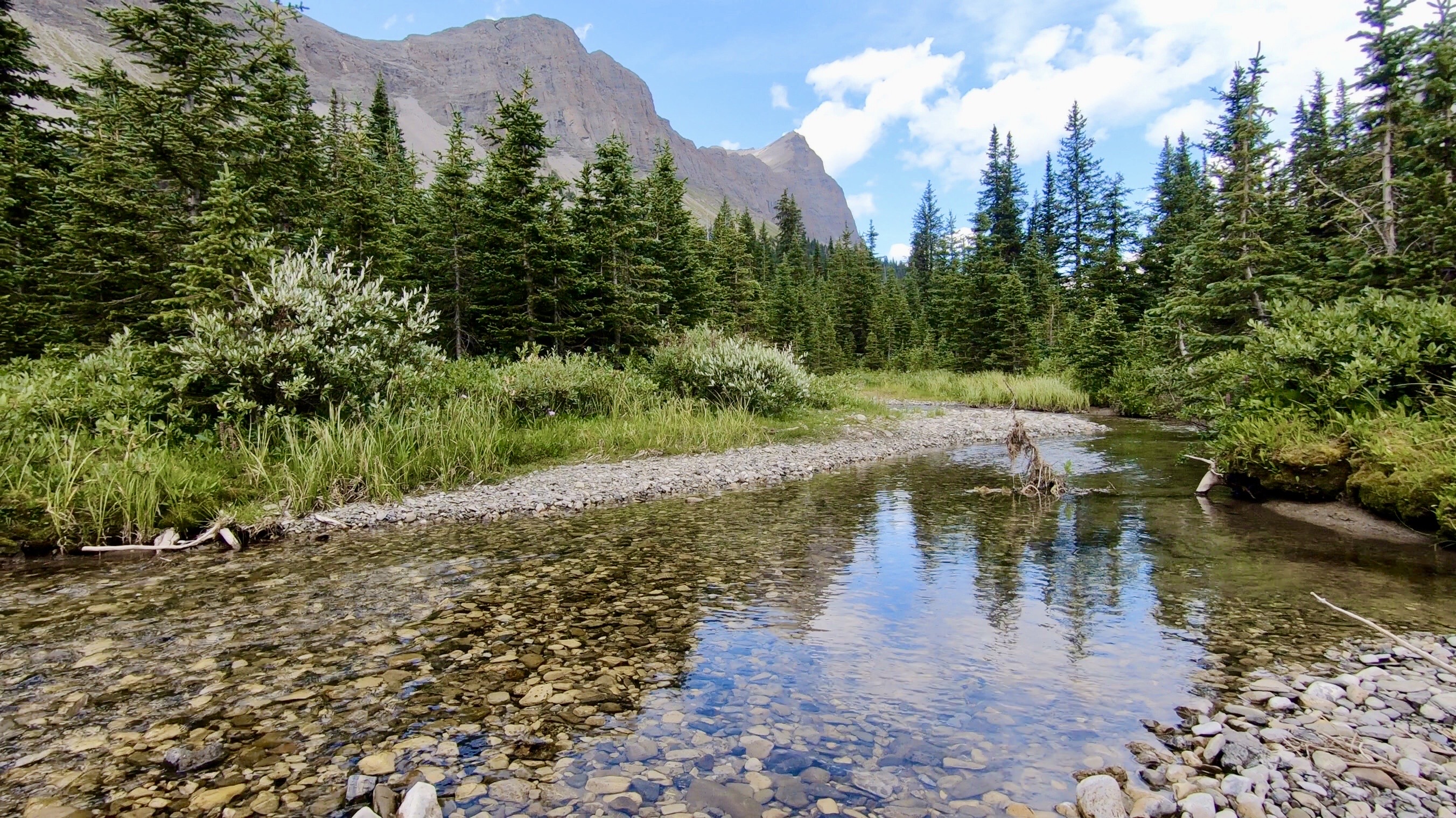
Dutch Creek, near the camp 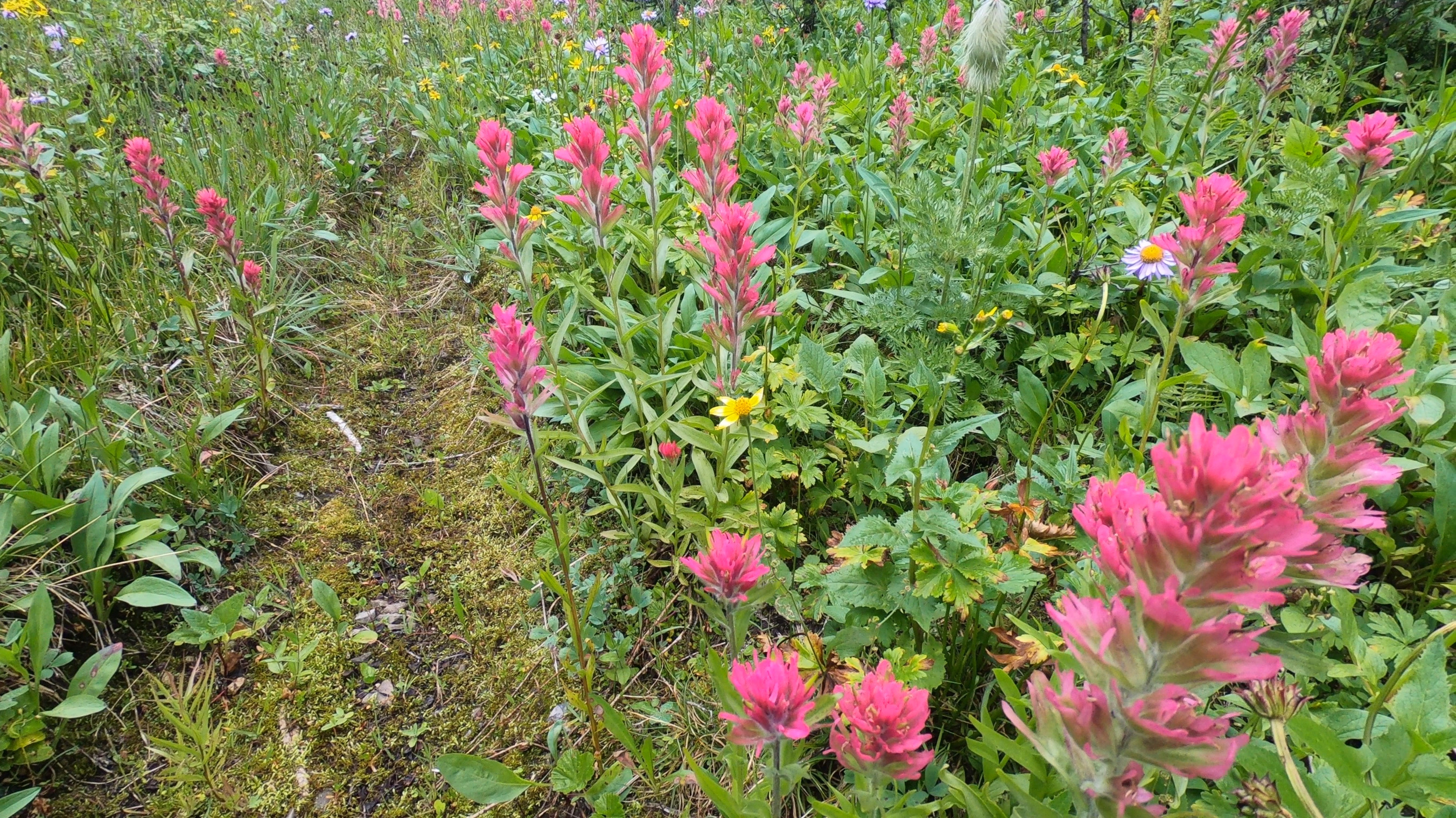
So many flowers on this trip! 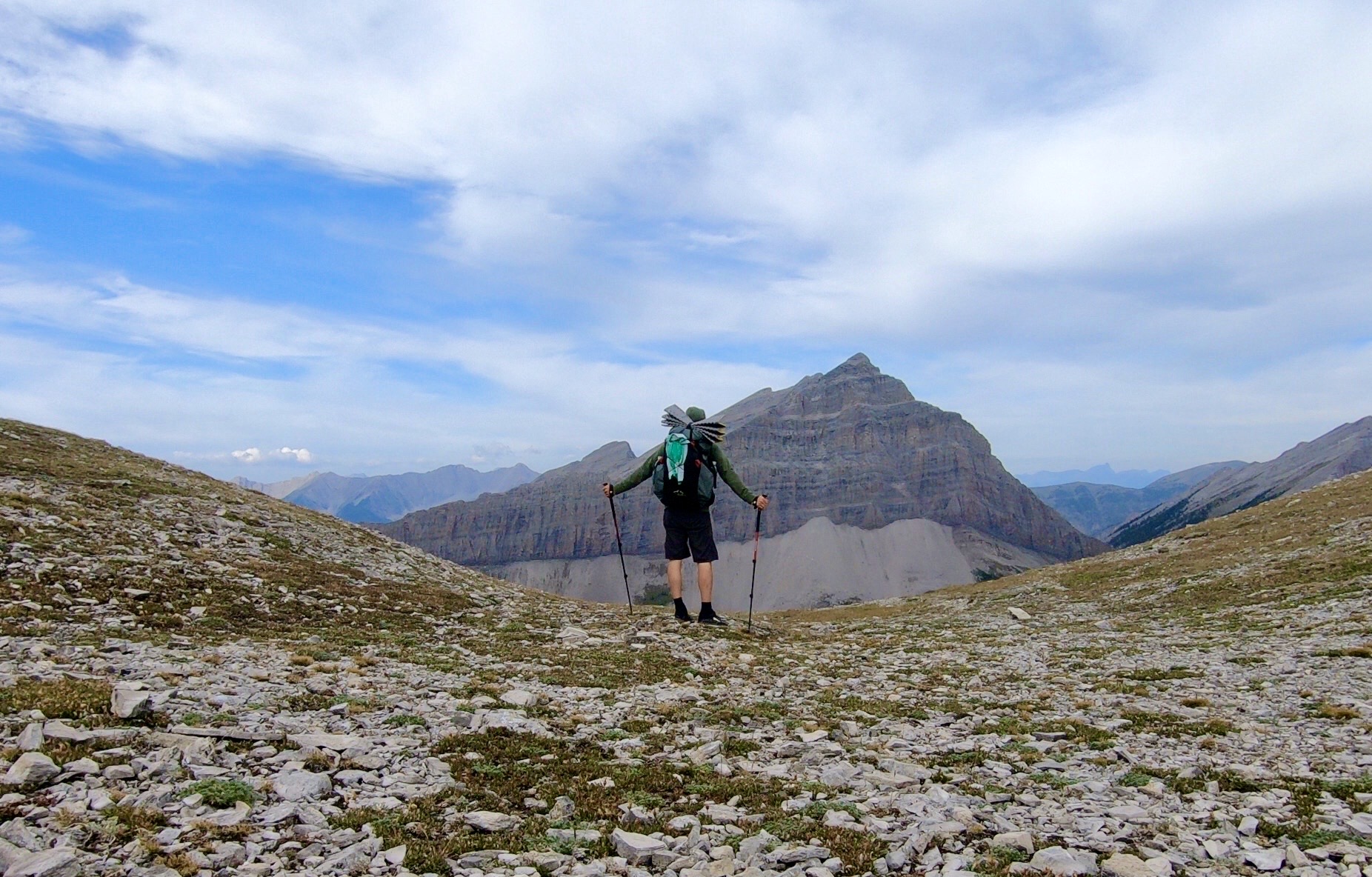
Tornado Pass, looking back to the South 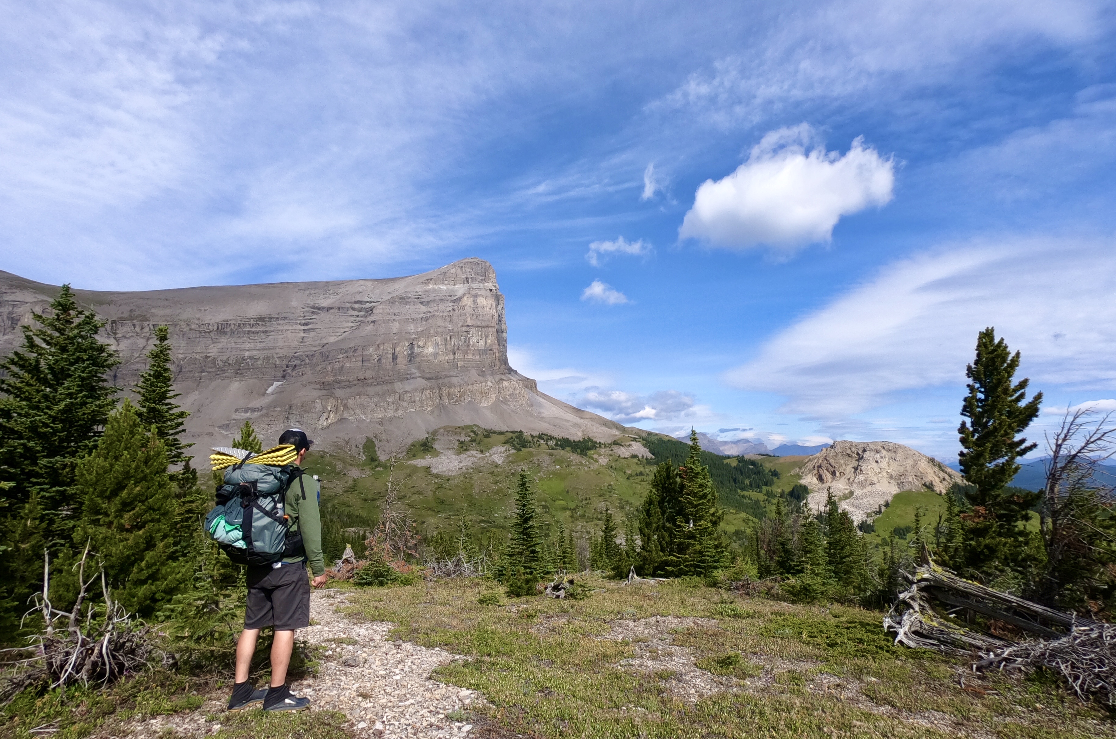
Bee Hive Creek Natural Area 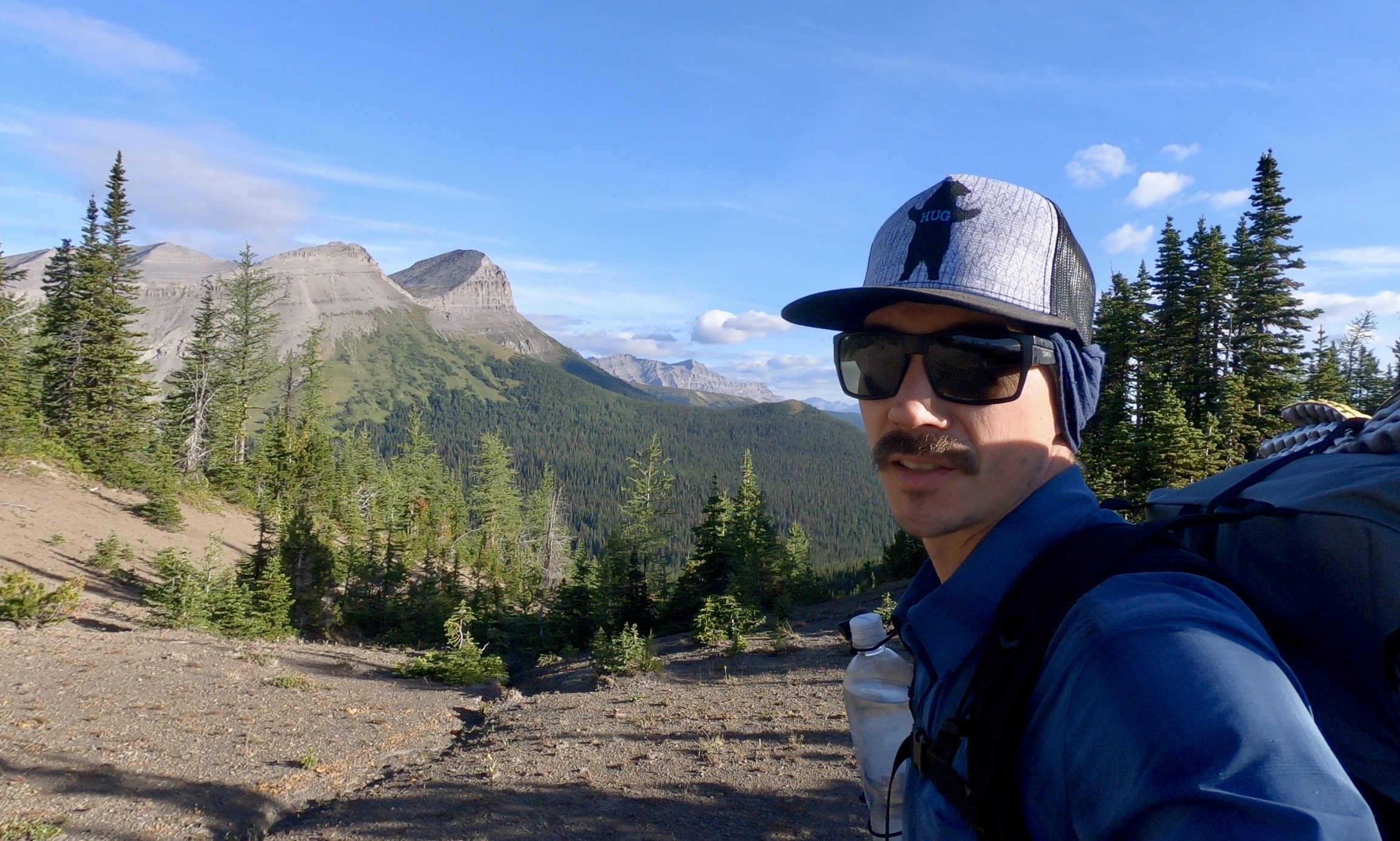
Mount Holcroft 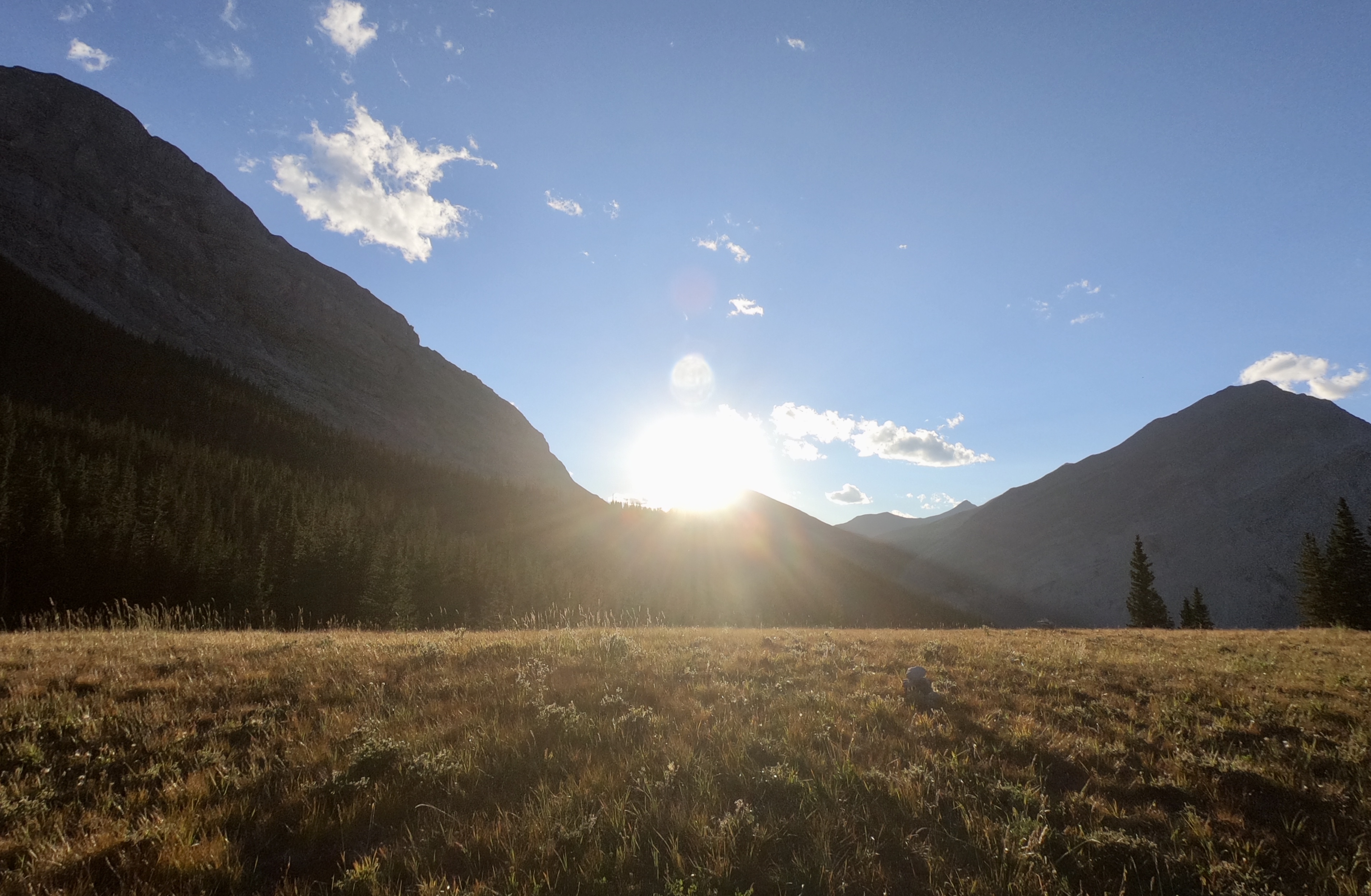
One last decent before camp 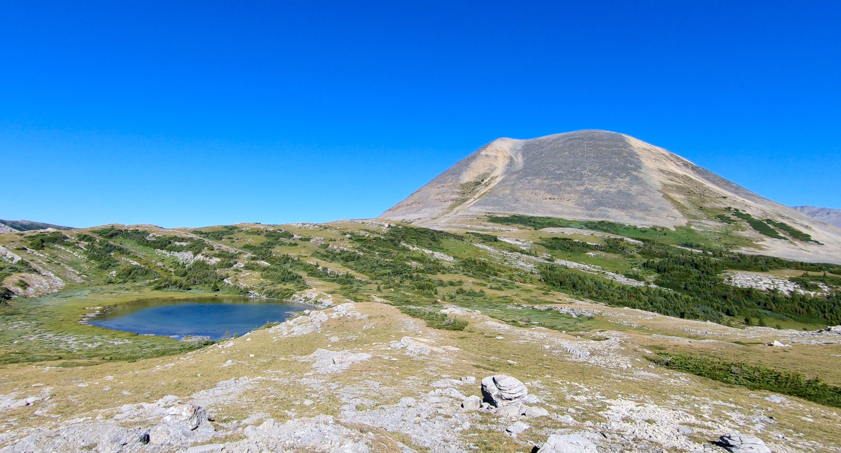
Fording River Pass – On the Continental Divide 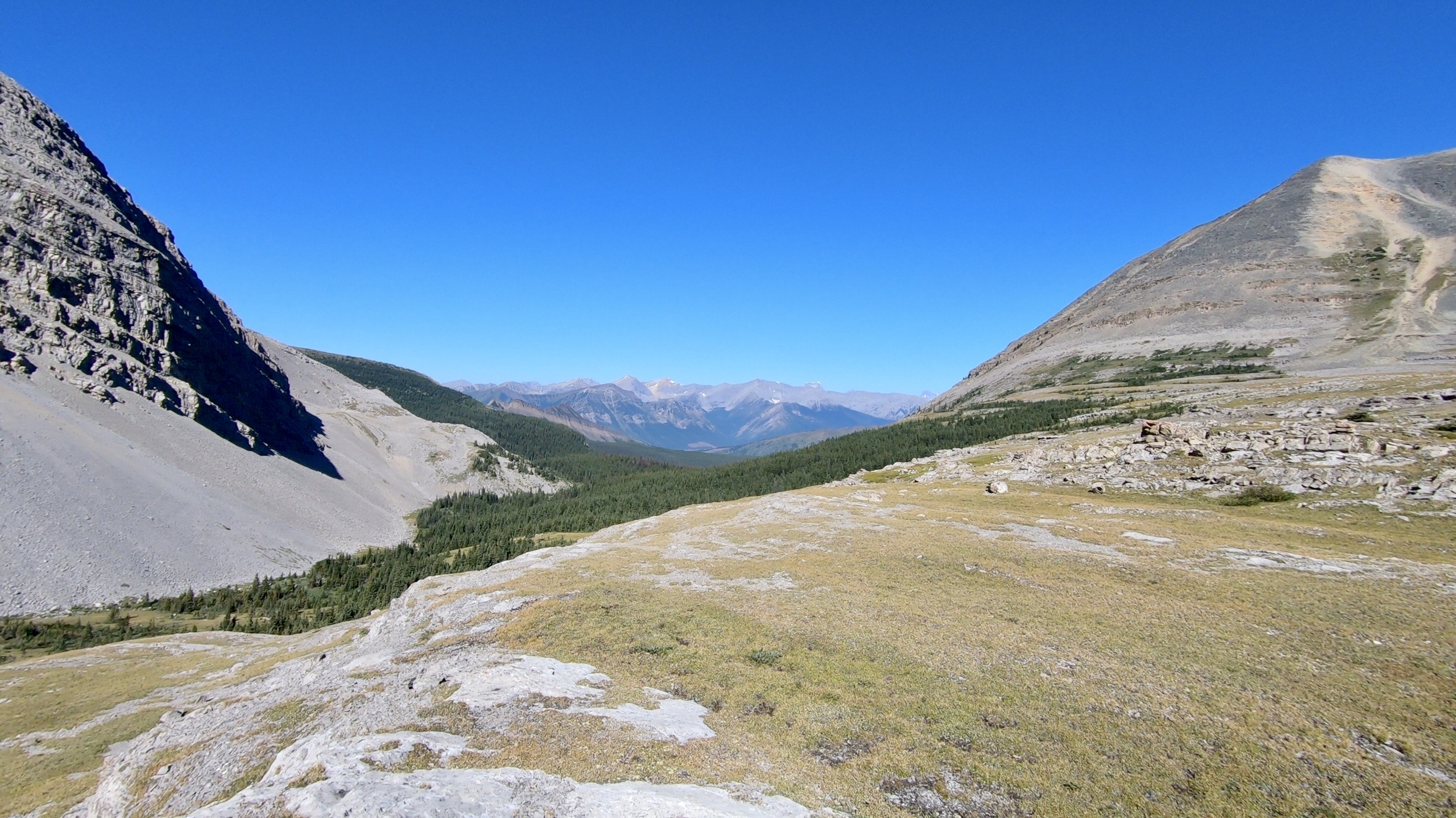
Looking down into B.C. . This was a 34km day 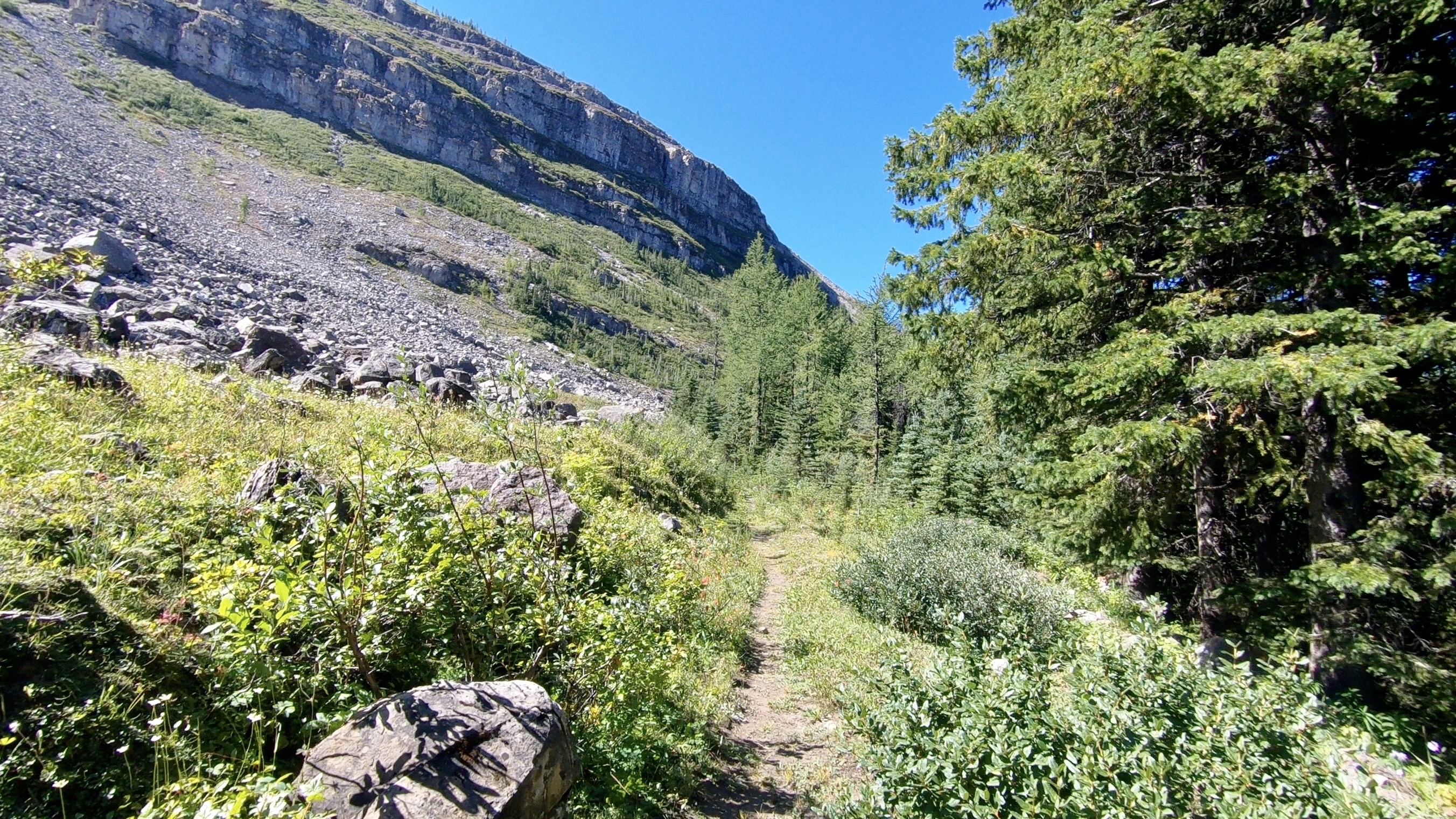
Back in B.C. and moving fast. 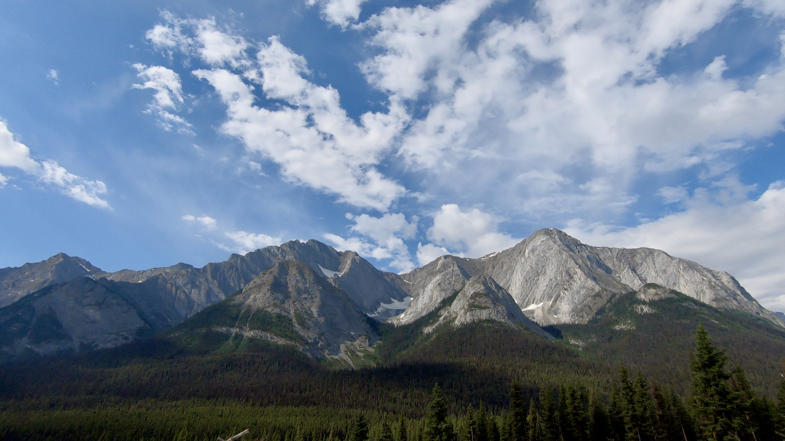
Views along the Elk River Forest Service Road 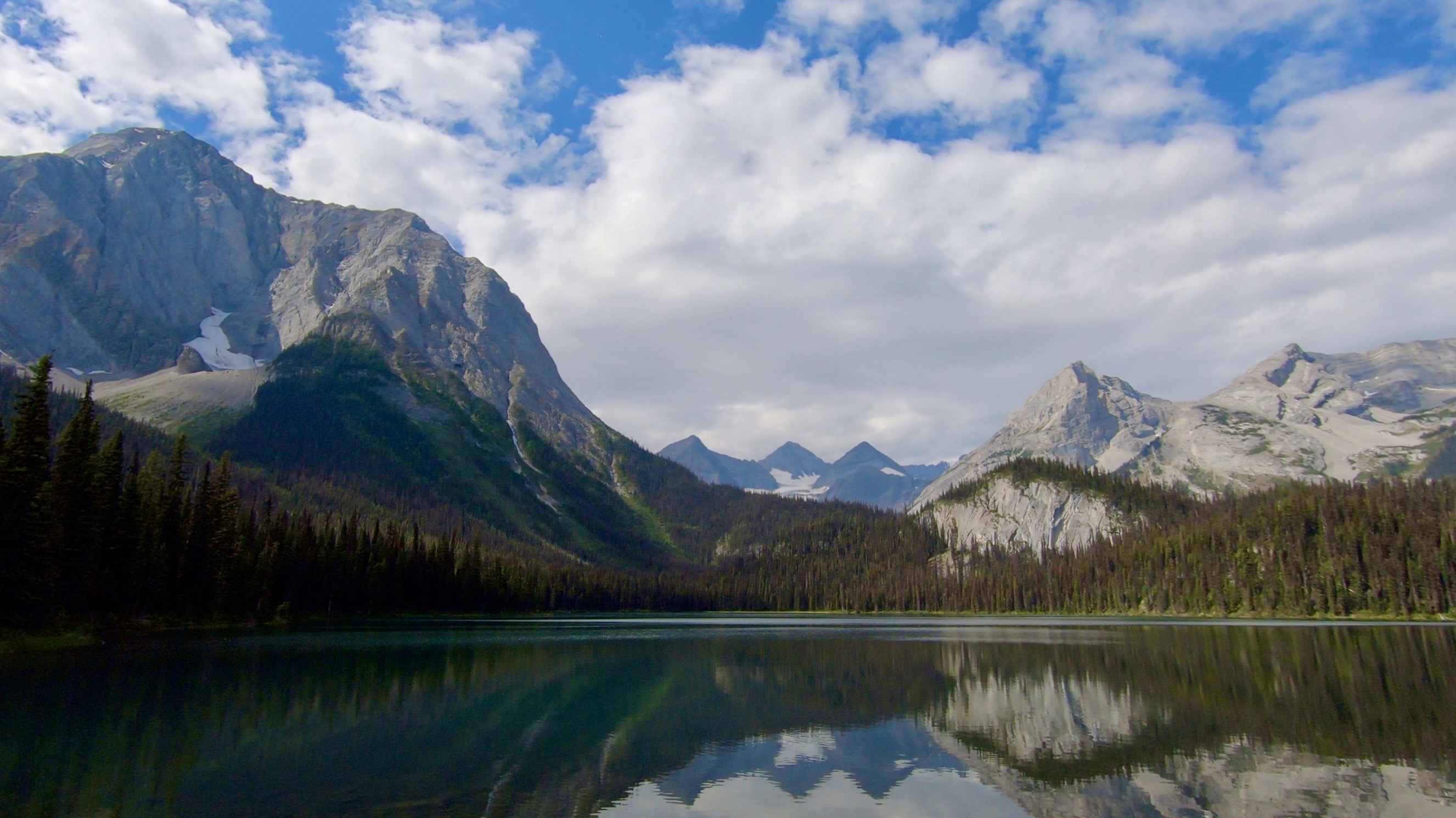
Elk Lakes Provincial Park – Lower Elk Lake
Getting Home:
To make things a bit easier, I have my parents pick me up from this trip, because doing a vehicle shuttle would have added 7-8 hours to the preparations for this trip. I made a plan with them to pick me up in 8 days at 4pm, when they had dropped me off and I kept in contact with them throughout the trip with my inReach messaging device. The pickup is near where they had dropped me off for my Section C solo hike in 2018 – Upper Kananaskis Lake, Peter Lougheed Provincial Park, Alberta. Having them pick me up is such a huge help and I am so grateful that they love to travel and enjoy helping me with my goals. The drive from the end of Section B to home takes us almost 4 hours, after a few casual stops and one quick dinner stop in Canmore, Alberta. Leaving Peter Lougheed Provincial Park we drive north on Highway 40 until you reach Highway 1 and tube west. Now heading west toward Canmore and Banff, we drive through a small section of Banff National Park, and then after gaining the Continental Divide are back in our home province of British Columbia. The final stretch through Kootenay National Park is always a treat, followed by the warm feeling, when driving through the canyon at Radium, B.C and entering the Rocky Mountain trench – home.
Conclusion:
The numerous ridge walks, day after day, the wildness, the solitude, the challenge, the long days on my feet, the smiles, and tears of happiness, travelling from drainage to drainage, sometime four or five in just one day. By the end, this trip really made me feel like I was capable of doing just about anything and really amped up my ability to see the land and animals around me. Other than my calf muscle bothering me for the first few days, I felt like this trip went really smooth, with only a few small lessons learned and minor gear changes to make in the future. Much of this success was attributed to the previous solo adventures and all of the day and weekend hiking trips with friends, over the most recent of years. The gear I had was a good match for my style of hiking and along with. my determination and stubbornness, had helped me to hike some of the longest days of my hiking career. I spent seven full days without seeing or speaking to another human. I didn’t have a problem with it, to be honest, having a mostly introverted personality. It allowed me plenty of time to think and ponder what my true passions were and where I wanted to spend my energy in the coming years, or so I thought.
Back to the seized calf muscle. This was something that I should have addressed better and taken care of by having a rest day at a minimum, rather than pushing through to meet a timeline. I had a spare day of food on me, which would have allowed me to do so. This was a product of me training, but not training hard enough for the size of bag I was carrying and the amount of up and down I would put my body through, in such a short amount of time. This was the heaviest bag in a really long time, right around 38 pounds, with almost 9 days of food. In the end, the muscle relaxed and I was able to carry on as normal, however, I now make sure to keep my hips loose and strong, as well as my ankles mobile and strong. A personal trainer, movement specialist, physiotherapist or yoga therapist can help you to make sure your body is moving correctly, before taking on a big trip and spot any weak points, that may be present, before you head out into the field. This is where the off-season comes into play.
My last solo adventure took me through a good portion of Section C on the Great Divide trail, which I covered some 150km in 10 days. This time I pushed myself a bit harder and managed almost 200km in just 8 days. I was really proud of myself and glad I had taken the time to tackle this goal. I found true happiness in getting up each day early, and climbing over at least one, but often many passes, walking along ridge lines for miles, high above the valley bottom, or exhausted and finally having dinner in one drainage, but deciding to walk over one more pass, before setting up camp.
What’s your favourite part about a long hiking adventure? Where you r favourite spot to have a backcountry meal? Let me Know in the comments below!
Keep following along for more human powered adventures, blogs and tips. Make sure to get out of your comfort zone.
Happy adventuring!
Tyerel Raven

Leave a comment